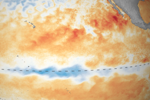
Climate experts are keeping their eyes on the tropical Pacific, watching a strip of cool water that may be one indicator that La Niña is brewing.

Climate experts are keeping their eyes on the tropical Pacific, watching a strip of cool water that may be one indicator that La Niña is brewing.
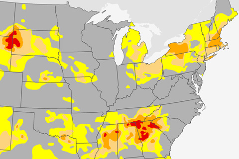
A checkerboard of drought conditions has developed across the United States east of the Rockies between spring and summer 2016. Since March, the total drought-affected area of the country has nearly doubled.
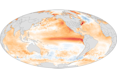
A record-smashing hurricane season in the central North Pacific. Water rationing in Puerto Rico. The biggest one-year jump in atmospheric carbon dioxide concentrations. These and more of 2015's extreme events had one thing in common: El Niño.
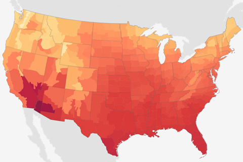
Record-setting warmth enveloped the contiguous United States in June 2016.
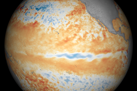
With El Niño in the rearview mirror, the central tropical Pacific continued to cool in June 2016.
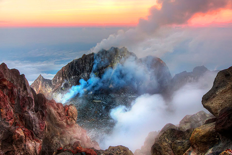
Human activities emit 60 or more times the amount of carbon dioxide released by volcanoes each year.
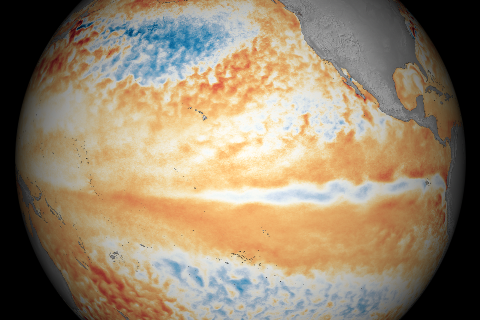
A deep pool of cool water that had been lurking beneath the surface of the eastern tropical Pacific in April began to emerge at the surface in May 2016.
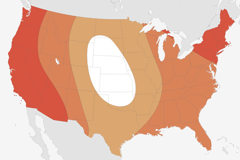
Most of the continental United States is facing elevated chances of well above average summer temperatures, according to the latest outlook from NOAA’s Climate Prediction Center.