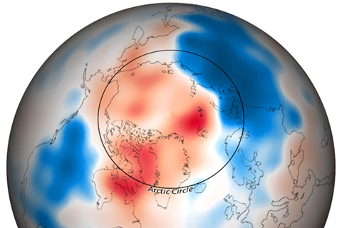
A wave of cold Arctic air gripped much of North America, Europe, and northern portions of Asia through the month of December 2009.
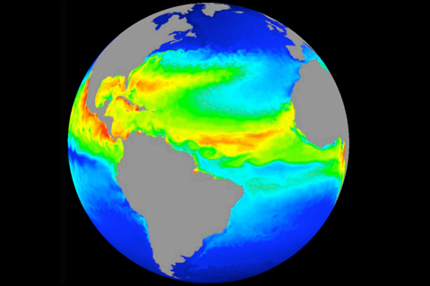
Improved computer models help scientists understand Earth’s ocean.
The Pacific-North American teleconnection pattern influences regional weather by affecting the strength and location of the East Asian jet stream, and subsequently, the weather it delivers to North America.
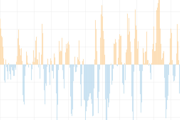
The Arctic Oscillation (AO) refers to an atmospheric circulation pattern over the mid-to-high latitudes of the Northern Hemisphere. The most obvious reflection of the phase of this oscillation is the north-to-south location of the storm-steering, mid-latitude jet stream.
The North Atlantic Oscillation tracks a seesawing of surface pressure between two parts of the North Atlantic. Different phases often bring predictable changes in winds, temperature, and precipitation in the United States and Europe.
You should, too.
We probably have El Niño to thank.
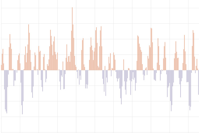
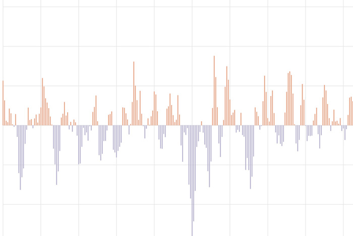
A La Niña Watch has been issued by NOAA's Climate Prediction Center. But also, we are still in El Niño! Confused? Let the ENSO bloggers explain.
Before 2023 officially wraps up we want to highlight some of the climate related stories, maps, and graphs that we brought you over the past year.
No, your eyes are not deceiving you. The latest ENSO Outlook does in fact favor the end of La Niña with a slightly over 80% chance that ENSO-Neutral conditions will reign supreme by springtime. For more on that and another look at how daily temperatures vary during winter, click below.