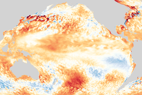
The surface of the tropical Pacific has been warmer than average for a few months now, but ENSO-neutral conditions are still in place. Our blogger takes a journey into the mind of an ENSO forecaster. It’s her own mind, but that still counts.
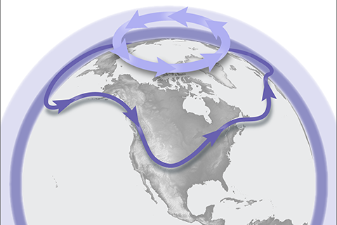
Kidding. Here's why the polar vortex may also cause you to take off your sweater sometimes.
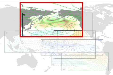
Some oceanic and atmospheric patterns can give us an early heads-up that El Niño might be on its way.
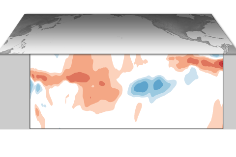
ENSO-neutral is expected to last through spring 2020. See why in our latest ENSO blog and stay for some ENSO trivia.
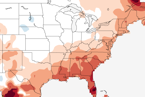
What goes into NOAA’s winter outlook when ENSO is in neutral? The Climate Prediction Center’s Mike Halpert discusses the details.
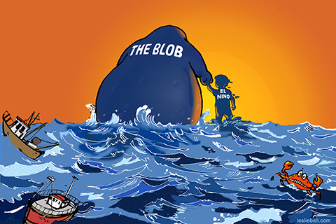
A blog post on the Blob. Blob, Blob, Blob. But here's why you shouldn't call it the Blob.
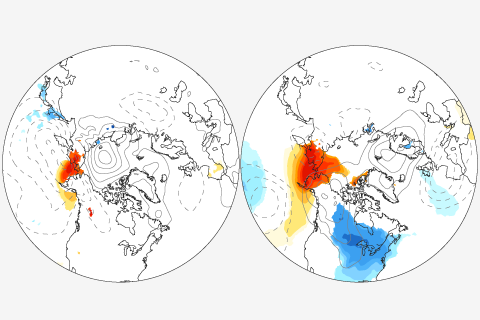
New research weighs in on a popular debate about whether reduced Arctic sea ice is causing extreme mid-latitude winters. Their result? Blame the atmosphere, not the ice.
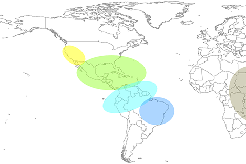
The major El Niño of 2015-16 affected disease occurrence throughout the globe. Our blogger discusses new efforts to use ENSO forecasts to issue early warning alerts for global disease outbreaks.
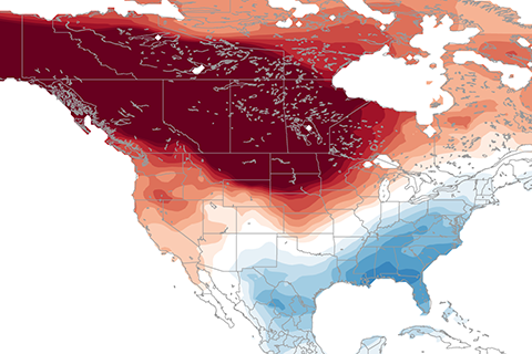
Stand aside polar vortex! The PNA may be the most important atmospheric circulation pattern you've never heard of.
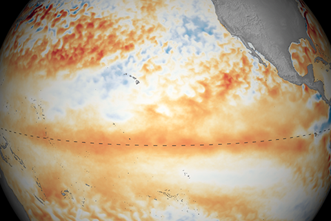
Weak El Nino continued into April. Our blogger discusses the "here & now" and the forecast for spring and summer.