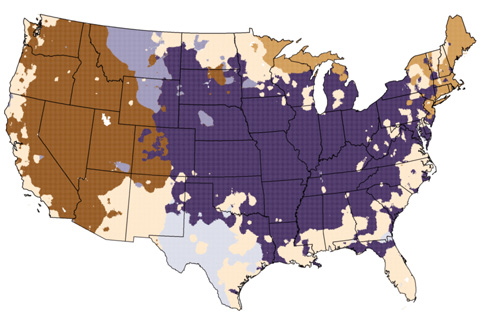
You wouldn't know it to look at the snow falling in the Mid-Atlantic, but according to meteorological convention, winter ended in February. In today’s "Beyond the Data" post, we’ll pull some fun regional trivia out of the national climate summary for February/winter. Bonus: there’s at least one lesson about the climate system in each nugget.
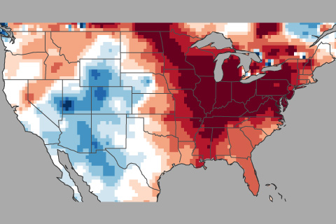
How this winter's temperature swings may have been partially driven by the Madden Julian Oscillation or MJO.
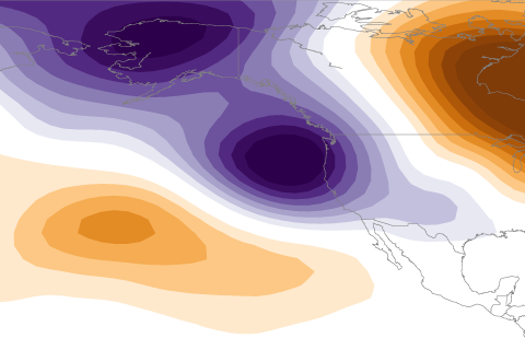
La Niña usually means a drier than average water year for California. So what happened in 2016-2017 when a weak La Niña coincided with a remarkably wet water year?
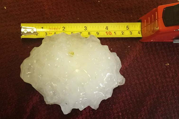
Have you ever wondered what the biggest, hottest, coldest or deepest weather records were for your state? So have many people. These data are interesting on the surface, but going Beyond the Data, they also help us think about resiliency in the face of weather, or climate or climate change, or some combination of the above.
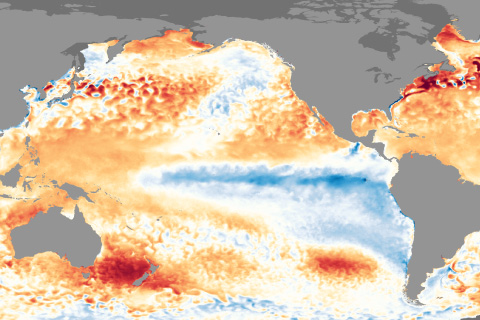
La Nina conditions appear to have peaked in strength and will likely last through the upcoming winter.
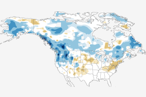
Herein lies the answer to the question you all have been asking: What about snow?
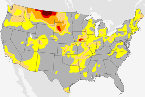
Drought emerged quickly in the Northern Plains this past summer. How does that fit with the bigger picture of what we know about drought and climate?
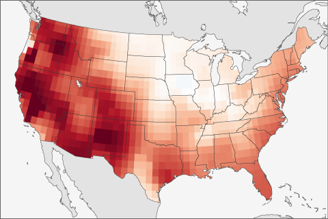
The forecast of ENSO is not the only thing scientists use when making seasonal forecasts. This post looks at another predictor that often is even better to use than ENSO.
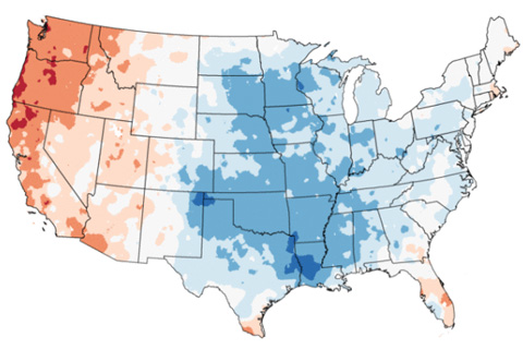
It’s been a tough few weeks weather and climate wise. Big events generate lots of questions, so this edition of Beyond the Data will address several I’ve heard recently, and several I asked myself.

Why the tropical Pacific is exceptionally ENSO-Neutral and what does it mean.