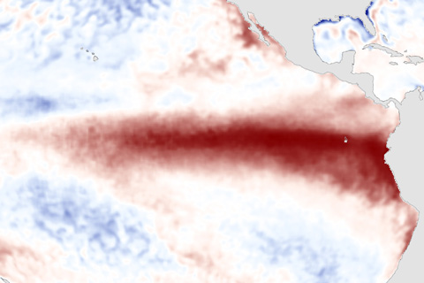
Everyone's asking if the arrival of El Niño guarantees that 2015 will set a new record for warmest global temperature. In his latest blog, Deke Arndt explains why it's possible--maybe even likely--but not guaranteed.

Everyone's asking if the arrival of El Niño guarantees that 2015 will set a new record for warmest global temperature. In his latest blog, Deke Arndt explains why it's possible--maybe even likely--but not guaranteed.
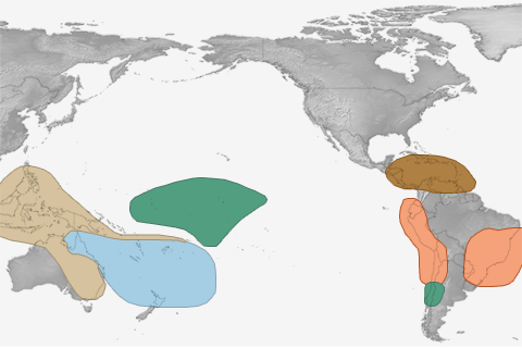
El Niño is the 800-pound gorilla for the winter climate in the U.S., but in summer, it's more like a 6-pound Chihuahua.
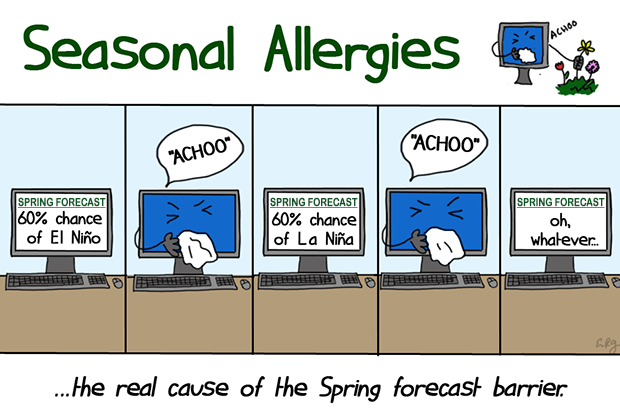
Why is it so difficult to make a good ENSO prediction during the Northern Hemisphere spring?
El Nino conditions strengthened in March. Where do forecasters think we're going from here?
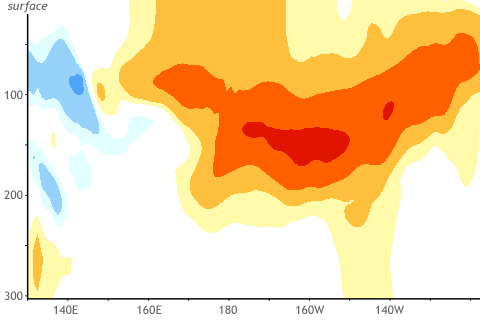
You're not the only one wondering if we will see El Niño grow or continue into this coming winter 2015. How useful are March winds and subsurface temperatures across the tropical Pacific Ocean in predicting winter El Niño or La Niña states?
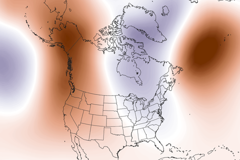
Guest blogger Dennis Hartmann makes the case that warm waters in the western tropical Pacific—part of the North Pacific Mode climate pattern—are behind the weird U.S. winter weather of the past two seasons.
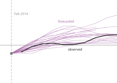
The model predictions during 2014 were not that shabby. A major, strong El Niño was not well justified by the predictions.
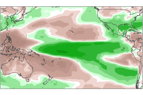
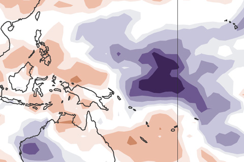
For more than 6 months, NOAA has been issuing El Niño watches, but never an advisory. Here we show whether recent patterns in precipitation resemble those expected during El Niño.
At the beginning of February, the atmosphere was looking a little bit like El Niño. Is this just another rolling stone?
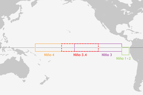
ENSO blogger Tony Barnston explains why climate forecasters can't get by with just a single indicator for predicting El Niño and La Niña.