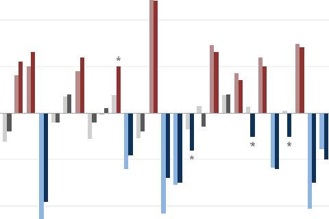
The forecast seems stuck on repeat. Why are we still calling for El Niño?

The forecast seems stuck on repeat. Why are we still calling for El Niño?
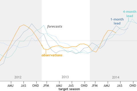
The forecasts often provided useful information for the coming few months, but had more limited accuracy and value in forecasting beyond that.
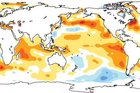
As of late August 2014, tropical atmospheric temperatures appear to be responding more strongly to the ocean than they typically do at this early stage of El Niño development.
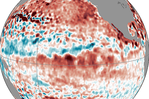
Forecasters are still calling for a 65% chance of El Nino conditions being met in the next few months. Isn't this late for the start of an ENSO event?
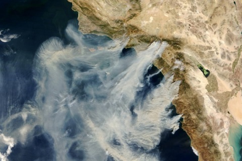
El Niño could bring increased rain to California. How might this affect the threat of wildfire?
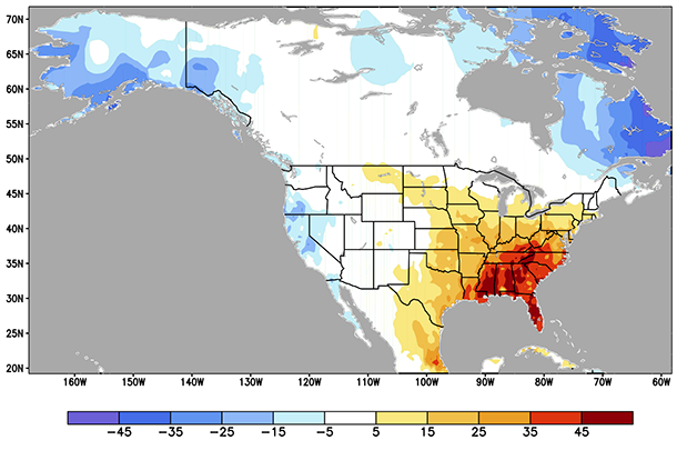
Along with ENSO, what other climate patterns might be useful for predicting temperatures and precipitation in the United States?
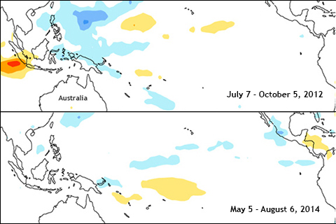
Where is El Niño? How is this year different from 2012 when El Niño was predicted, but never arrived?
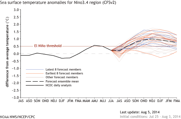
The chance of an El Nino has dropped to about 65%. What led to this change in the forecast?
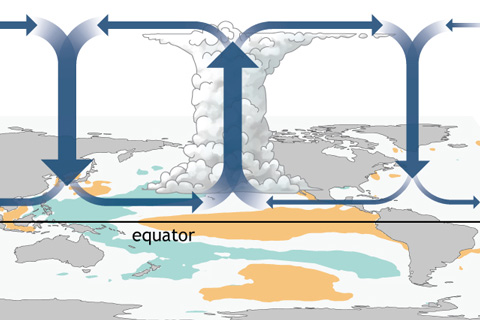
How do changes in the equatorial Pacific Ocean impact places much farther away? The answer for the tropics, at least, lies in changes to the equator-wide atmospheric circulation called the Walker Circulation.
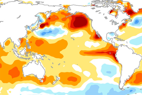
Why hasn't El Niño been declared yet? The answer might lie in the gradients of sea surface temperatures across the tropical Pacific Ocean.