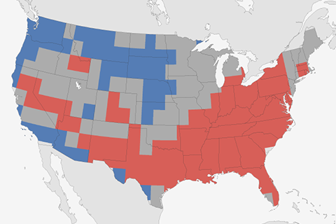
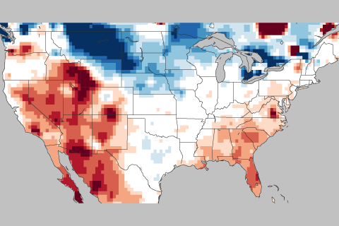
How did the 2018-2019 Winter outlook do? Tom Di Liberto takes you through what happened in this week's ENSO blog.

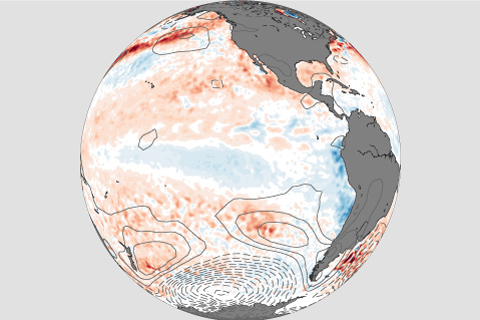
El Niño conditions continued into March. What do forecasters think is next?
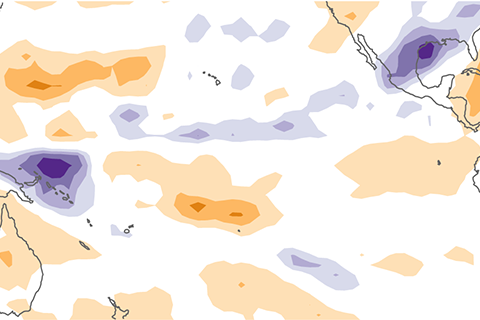
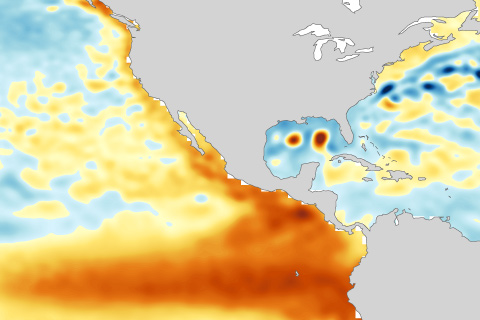
Why did atmospheric El Niño conditions fail to develop this past fall? Our blogger tries to unravel the mystery of the missing central Pacific rainfall.
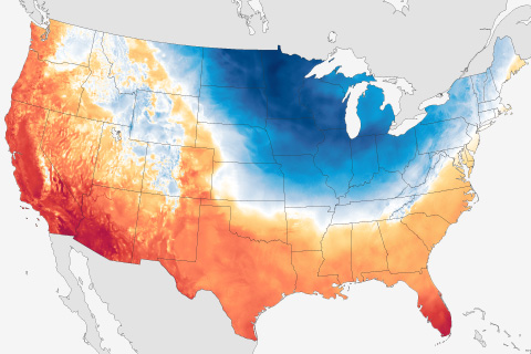
NCEI's Anthony Arguez uses a new dataset for tracking hot and cold extremes to provide a preliminary analysis of the Arctic blast that hit the Midwest and other parts of the eastern United States in late January 2019.
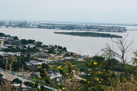
What is the latest and greatest in ENSO science? This blogger travels to Guayaquil, Ecuador to find out.
Forecasters are favoring the onset of El Niño conditions this fall. Our blogger gives you the details!
Amazingly, ENSO doesn't just impact climate anomalies like temperature and precipitation over the United States. It can also influence the sea level, which may have major implications as the sea level continues to rise in the future.
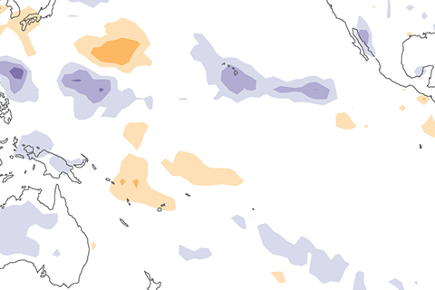
Wondering how strong any potential El Niño might be this winter? Maybe you should look to the South Pacific for clues.
Want to forecast both weather and climate? First this means understanding the faster and slower moving features of our atmosphere, ocean, and land.
In this week's ENSO blog, Tom DiLiberto gets all judgy over the 2017-2018 Winter Outlook—using science of course.