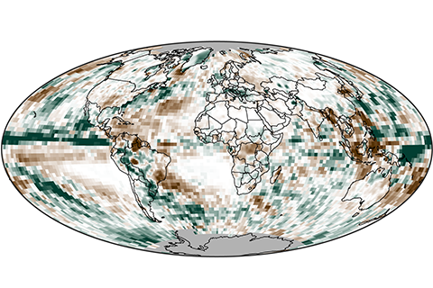
In 2014, precipitation over land was generally below average, while precipitation over the oceans was above average.
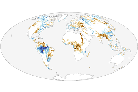
Overall, average global river outflow in 2014 slightly exceeded the climate normal.

Worldwide in 2014, three dozen reference glaciers experienced an average mass loss equivalent to of 853 millimeters of water equivalent in 2014.
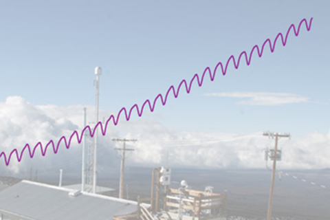
Scientists estimated global average carbon dioxide concentration at 397.2 parts per million (ppm) in 2014, as the global growth rate of carbon dioxide continues to accelerate.
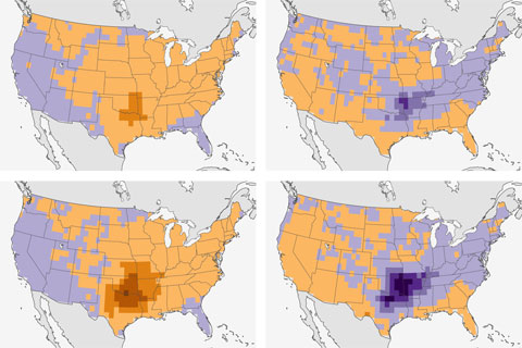
Scienitsts find connection between El Niño and fewer spring tornadoes in the south-central United States.
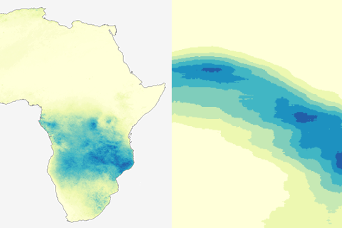
A post for map geeks. How to turn an animation of a year's worth of daily rain maps into a single picture.
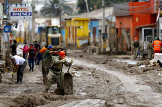
Flooding in the Atacama Desert: How did that happen?
April 24, 2015
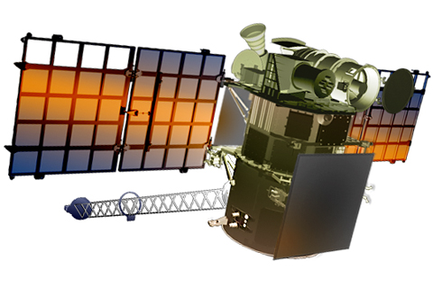
In addition to its primary mission of observing space weather, the Deep Space Climate Observatory (DSCOVR) satellite is carrying two instruments that are important to climate science: the NISTAR radiometer and the EPIC camera.
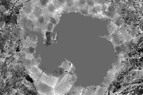
Recovered satellite images of Antarctica showed a larger sea ice extent than ever measured before—but the record was short lived. The record was broken in September 2014, only weeks after the discovery.
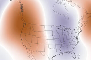
U.S. temperature extremes and the polar jet stream
September 16, 2014