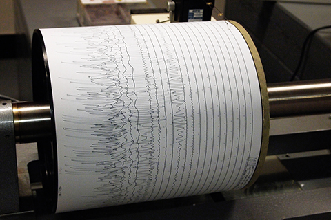
NOAA-funded researchers have developed a way to estimate hurricane strength using nothing but seismic data used to track earthquakes and volcanoes. The technique may help expand the pre-satellite record of tropical cyclone activity.
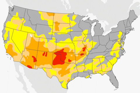
A lack of precipitation across the southern and western United States has led to growing drought this winter.
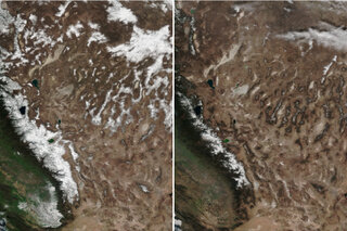
Winter so far has people out west asking, Where’s the snow?
February 15, 2018
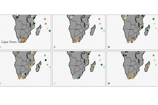
Day Zero approaches in Cape Town
February 7, 2018
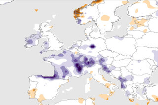
Seine River overflows in Paris
February 6, 2018

A decade of phytoplankton blooms in the North Pacific
February 2, 2018
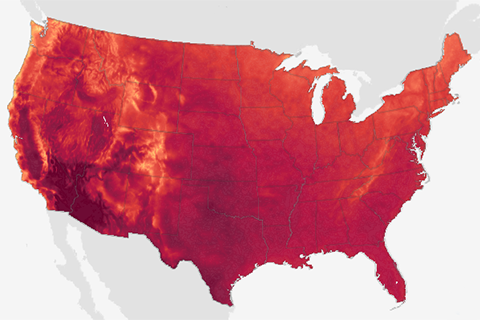
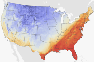
U.S. maps of average daytime high temperature in January, April, July, and October in the 2060s show the projected impacts of continued high emissions of carbon dioxide.

Test runs of experimental models for predicting winter snowpack show some success in many mountain ranges in the western United States.
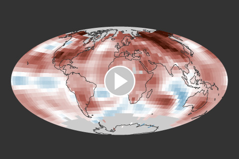
The 2017 average temperature was the third highest since 1880, behind 2016 (warmest) and 2015 (second warmest).
